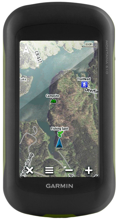
Garmin Montana 610
Never available again
View alternatives in the sidebar
Specifications
Product
Product number | 712633 | |
|---|---|---|
Manufacturer code | 010-01534-00 | |
Brand | Garmin | |
Warranty | 2 years | |
Processing of your defect | Carry-in warranty |
Physical properties
Height | 14,42 cm | |
|---|---|---|
Width | 7,48 cm | |
Depth | 3,64 cm | |
Weight | 289 g | |
Color | Black | |
Built-in camera |
Screen
Screen size | 4 inches | |
|---|---|---|
Touchscreen | ||
Color screen |
Navigation
Global satellite navigation system | GLONASS, GPS | |
|---|---|---|
Quick GPSfix | ||
Trackback feature | ||
Tracklog points | ||
Uploading routes possible | ||
Useful places | ||
Geocache function | ||
Compass | ||
Altimeter | ||
Type of altimeter | Barometric | |
Tide tables | ||
Recommended for activity | Biking, Geocaching, Hiking | |
Cadence sensor | No |
Maps
Map coverage | Basic map | |
|---|---|---|
Pre-installed maps | ||
Pre-installed countries | Albania, Andorra, Austria, Belgium, Bosnia and Herzegovina, Bulgaria, Croatia, Cyprus, Czech Republic, Denmark, Estonia, Finland, France, Germany, Greece, Hungary, Iceland, Ireland, Italy, Kosovo, Latvia, Liechtenstein, Luxembourg, Macedonia, Malta, Moldavia, Monaco, Montenegro, Norway, Poland, Portugal, Romania, Russia, San Marino, Serbia, Slovakia, Slovenia, Spain, Sweden, Switzerland, The Netherlands, Turkey, Ukraine, United Kingdom, Vatican City | |
Maps expandable |
Communication
Compatible with smartphone / apps |
|---|
Memory
Total storage capacity | 2,7 GB | |
|---|---|---|
Memory card reader | ||
Memory card | MicroSD |
Battery
Power supply type | Rechargeable battery | |
|---|---|---|
Battery technology | Alkaline, Lithium-ion |
Water resistance
Water-resistant | ||
|---|---|---|
IP certification | IPX7 | |
Water resistance | Waterproof | |
Dustproof |
