
anything for a smile
Retail price
€ 535,49€ 449,99
Delivered tomorrow
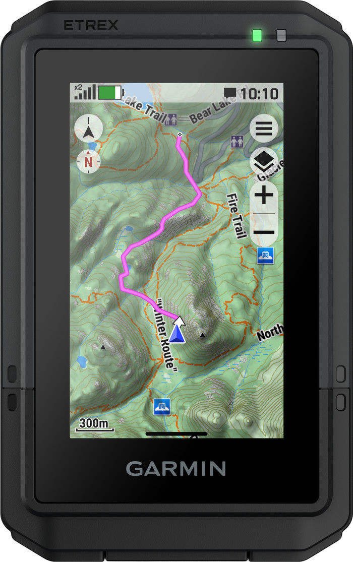
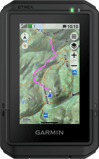
I have been using this navigation device for a few months now and am quite disappointed. Routes load slowly, and as soon as you deviate even slightly from the planned route, the device clearly struggles to recalculate: instead of drawing a logical new route, it simply draws a straight line to your endpoint, effectively causing you to lose your entire route.
Reloading a saved route also causes problems regularly — the device freezes completely and needs to restart. Additionally, it is difficult to keep your files (courses, waypoints, completed routes) organized and structured.
Loading GPX files from various companion apps works fine in itself, but following them accurately in navigation mode does not: you receive no warnings upon arriving at an intersection. Combined with a screen that is off by default, this is far from ideal while navigating.
In urban environments, it becomes truly unusable: both loading routes and loading the map take so long there that it is of no practical use. All in all, this eTrex Touch fails to meet expectations on several essential points.
Christian Kloosterman
21 July 2026
Automatically translated from Nederlands
Product number | 974792 | |
|---|---|---|
Manufacturer code | 010-02940-01 | |
Brand | Garmin | |
Warranty | 2 years | |
Processing of your defect | Carry-in warranty |
Height | 10,5 cm | |
|---|---|---|
Width | 606 cm | |
Depth | 2,5 cm | |
Weight | 150 g | |
Color | Black | |
Built-in camera |
Screen size | 3 inches | |
|---|---|---|
Touchscreen | ||
Color screen |
Global satellite navigation system | GLONASS, GPS | |
|---|---|---|
Trackback feature | ||
Tracklog points | ||
Uploading routes possible | ||
Useful places | ||
Geocache function | ||
Compass | ||
Altimeter | ||
Type of altimeter | GPS | |
Tide tables | ||
Recommended for activity | Biking, Geocaching, Hiking |
Map coverage | Topographic map (Europe) | |
|---|---|---|
Pre-installed maps | ||
Pre-installed countries | Albania, Andorra, Austria, Belarus, Belgium, Bosnia and Herzegovina, Bulgaria, Croatia, Czech Republic, Denmark, Estonia, Finland, France, Germany, Greece, Hungary, Iceland, Ireland, Italy, Kosovo, Latvia, Liechtenstein, Lithuania, Luxembourg, Macedonia, Malta, Moldavia, Monaco, Montenegro, Norway, Poland, Portugal, Romania, Russia, San Marino, Serbia, Slovakia, Slovenia, Spain, Sweden, Switzerland, The Netherlands, Turkey, Ukraine, United Kingdom, Vatican City | |
Maps expandable |
Compatible with smartphone / apps |
|---|
Total storage capacity | 8 GB | |
|---|---|---|
Memory card reader | ||
Memory card | MicroSD |
Power supply type | Rechargeable battery | |
|---|---|---|
Battery technology | Lithium-ion |
Water-resistant | ||
|---|---|---|
IP certification | IP67 | |
Water resistance | Waterproof | |
Dustproof |
Retail price
€ 535,49€ 449,99
Delivered tomorrow
Color screen | ||
|---|---|---|
Type of altimeter | GPS | |
Built-in camera | ||
Compass | ||
Water-resistant |
According to our hiking navigation system expert
Maps are pre-installed, so you can go on walks right away.
Thanks to the multi-band GPS, geolocation is accurate and you know exactly where you are.
The battery lasts at least 130 hours, so you don't have to charge it often.
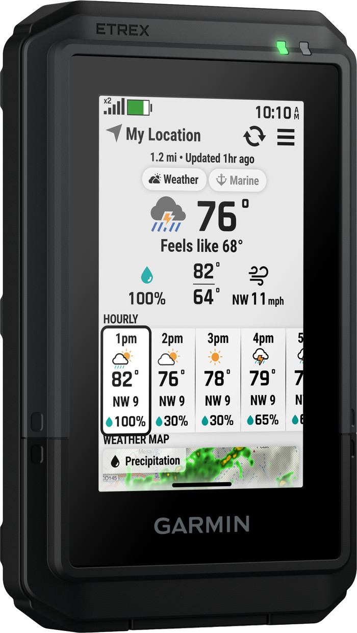
You only receive information about the weather when you're connected to your smartphone.